LASER SCANNING FOR BUILDINGS
3D SCANNING
 3D Scanning, supporting our studies.
3D scanning has become an essential solution thanks to its ability to capture indoor and outdoor environments as point clouds. Once processed, these point clouds serve as an ideal working base to produce 2D plans, 3D models, or as-built BIM models. Our engineering office fully leverages this technology to accurately survey fire protection installations, even in the most complex spaces, and to create our digital models using specialized software. In addition to representing a significant time saving compared to traditional surveys, 3D data acquisition and scanning provide complete and precise data that are easily accessible to project owners and clients via a virtual, collaborative platform.
 copie 9")
The process.
1. Assess the environment to be scanned.
Assessing the environment is necessary to estimate the duration of the survey and determine the type of scanner to use. We take into account factors such as building height, the presence of racks, false ceilings, or other obstacles.
 copie 11")
")
2. Performing the Scan.
3D scanners capture spaces with precision, either from fixed positions (“station-by-station”) using a static tripod-mounted scanner that sweeps the environment 360°, or while moving with a dynamic scanner. The latter continuously captures the surroundings using a light beam that measures the distance to obstacles, generating a point cloud true to reality. The range and accuracy depend on the chosen configuration.
3. Point Cloud Processing.
Each scan station generates a point cloud representing a specific area of the building. These point clouds are then aligned and merged to form a unified model. This operation relies on common targets recorded on site. It should be noted that point clouds from both static and dynamic scanners can be combined. It is also possible to extract horizontal or vertical slices from the point cloud to generate profiles, 2D views, or geometries that can be used in software such as AutoCAD. This reality-based data reduces site revisits and optimizes the design phases.
 copie 12")
 copie 13")
4. Creation of a digital model.
Scan to BIM involves using the point cloud as a base to model a 3D/BIM digital model that accurately reflects reality. Using software such as Revit, this method enables the creation of a precise as-built model representing the existing conditions. Integrating the point cloud into viewers like Navisworks allows comparison between reality and the model, identification of discrepancies, monitoring of construction progress, and early detection of potential clashes to reduce errors and additional costs.
Our tools.
")
Static Scanner.
The static scanner, also known as a terrestrial scanner, is the reference tool for high-precision 3D surveys. Mounted on a tripod, it captures the environment from a fixed position by sweeping the space 360° using a rotating laser sensor. Each measurement is recorded with great accuracy, generating a point cloud. Each scan position, called a “station,” corresponds to a complete capture of a defined area. Multiple stations are required to cover an entire building, making the process longer than with a dynamic scanner, but significantly more accurate.
 copie")
Mobile Scanner.
More recent, the mobile scanner is ideal for hard-to-access environments or situations requiring rapid intervention. Unlike the static scanner, it captures spaces while moving, thus saving considerable time over an equivalent area. Equipped with rotating laser sensors, it continuously emits a light beam that scans the environment. When an obstacle is detected, the distance is precisely measured to position a point in space. This process generates a complete point cloud as the scanner moves.
Your Nenyo contact for 3 scanning.
-
Mail : a.heinrich@nenyo.fr
-
Phone Number : +33675251593
-
LinkedIN : @Arnaud Heinrich
Arnaud Heinrich – 3D Scan Lead / Project Manager
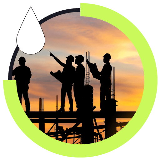
FIRE-PROTECTION
PROJECT MANAGEMENT INCLUDING
PRELIMINARY SURVEYS AND PROJECT PLANS

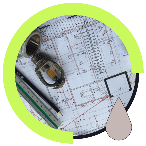
FIRE-PROTECTION IMPLEMENTATION STUDIES

Got a project ? Let’s talk !
At NENYO, we move forward together to deliver tailored solutions, from design to final commissioning: fire protection studies, project supervision, 3D scanning, BIM, and more...